new york.
amsterdam.
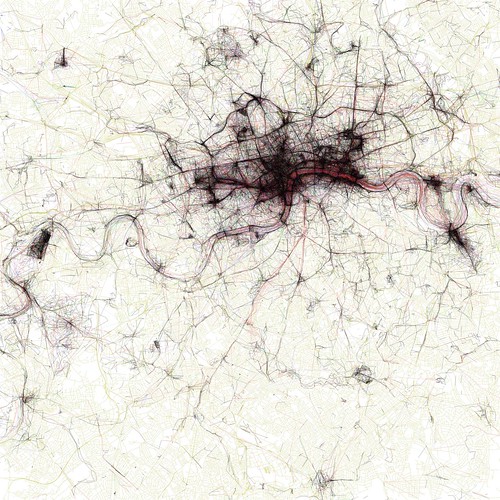
london.
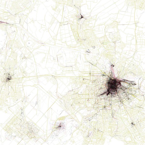
The Geotaggers’ World Atlas.
Flickr wizard Eric Fischer mashes together the online photo management site with geotags, Picasa, OpenStreetMap and a healthy dash of code to show how people take photos in each city, and at what speed they were moving when taking those photos. (via)